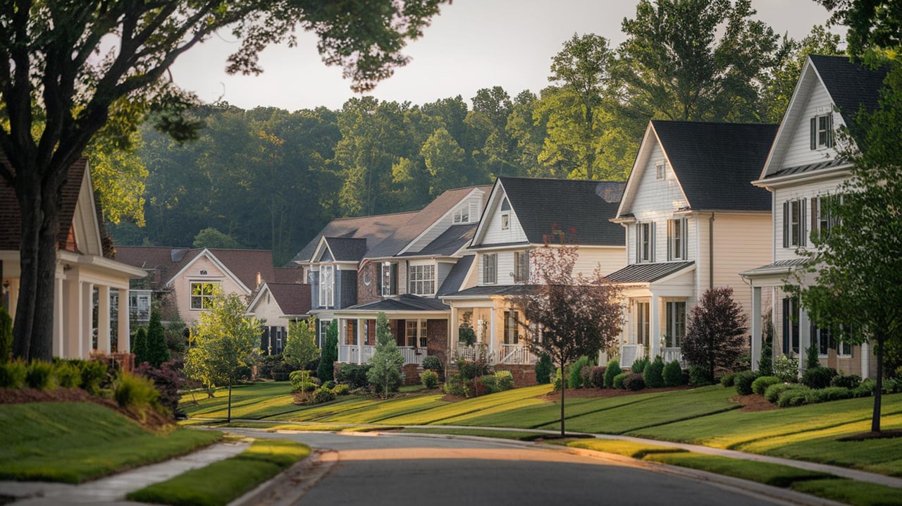
If you live or plan to buy near the Etowah in Canton, you know beautiful river views come with a serious question: what is my flood risk? You want a clear plan to protect your home, your budget, and your peace of mind. In this guide, you’ll learn how to check your property’s flood zone, monitor the river, understand insurance basics, and take practical steps that reduce damage. Let’s dive in.
Why Etowah flooding happens in Canton
The Etowah River runs through Canton with well‑monitored gauges that emergency managers use for forecasts and warnings. You can view real‑time levels at the USGS “Etowah River at Canton” gauge to understand how the river is trending during storms. Check the current stage and recent peaks on the USGS gauge page.
Local parks and low‑lying areas along the river corridor, including spaces near I‑575, are commonly affected during heavier rain. The City of Canton posts stormwater updates and closures when conditions change. Follow the City’s stormwater page for local notices.
Canton is also part of a regional water system that includes the Hickory Log Creek Reservoir. Operations there can influence flows. If you walk the river corridor or research risk, it helps to know this infrastructure is part of the watershed. Learn more about the Hickory Log Creek Reservoir.
How to check your property’s flood risk
Start with official maps. Cherokee County uses FEMA’s Flood Insurance Rate Maps to define Special Flood Hazard Areas, and the county notes revised FIRMs took effect June 7, 2019.
- Look up your address on the FEMA Flood Map Service Center to see your zone and create a FIRMette.
- Use the county’s GIS for local layers. Open the Cherokee County GIS flood map service and review the DFIRM/FEMA layers.
- For an official interpretation, contact county stormwater staff. They can advise on elevation certificates, permitting, and whether your structure sits in a regulated floodplain. Visit Cherokee County’s Floodplain Information page.
During storms, track conditions in real time. Check the USGS Etowah River at Canton gauge and follow city notices for closures or advisories.
Insurance and lender basics
If any part of a building is in a Special Flood Hazard Area, many lenders require flood insurance for mortgages. Even if your lender does not require it, standard homeowners policies usually exclude flood damage. The National Flood Insurance Program typically has a 30‑day waiting period, so plan ahead. Review FEMA’s flood insurance fact sheet.
Cherokee County communities may participate in FEMA’s Community Rating System, which can offer discounts on NFIP premiums. Ask the county if any CRS savings apply in your area.
Practical steps to take before a flood
A few small moves now can prevent big headaches later.
- Confirm your flood zone and base flood elevation through FEMA, county GIS, or the county floodplain office.
- Secure or update flood insurance and confirm coverage for both structure and contents. Use FEMA’s guide to understand coverage basics.
- Create a home inventory with photos and videos. Store copies in the cloud and keep key documents in a waterproof container.
- Order an elevation certificate if you do not have one. The county can explain how it’s used for insurance rating and permitting.
- Build an emergency kit and plan evacuation routes that avoid low‑lying roads. Review the National Weather Service “Turn Around, Don’t Drown” guidance.
Mitigation options that pay off
Not all upgrades require a major remodel. Start with cost‑effective improvements that reduce loss in shallow or short‑duration flooding.
- Elevate utilities and mechanicals. Raise HVAC units, electrical panels, water heaters, and laundry above expected flood levels or place them on platforms.
- Improve crawlspaces with compliant flood openings. Proper flood vents help equalize pressure and reduce structural damage. See technical guidance on flood‑resistant building details.
- Add sump pumps with battery backup. Keep gutters and yard drains clear so runoff moves away from the foundation.
- Install backflow prevention on sanitary lines and consider check valves for key connections.
- Adjust landscaping. Regrade to slope water away from the home, consider dry creek beds or swales where allowed, and protect streamside vegetation that stabilizes banks. Confirm any work complies with county rules.
- Prepare quick‑action supplies. Keep sandbags or barriers on hand if local authorities recommend them. Use the FloodSmart preparedness checklist for a simple plan.
During and after a flood
Safety comes first. Never walk or drive into floodwater. Follow the National Weather Service’s “Turn Around, Don’t Drown” reminders.
When you return, document damage with photos before cleanup. Use protective gear and treat floodwater as contaminated. Notify your insurance carrier promptly and follow their steps for inspection and claims. The FloodSmart checklist is a helpful re‑entry reminder.
Local contacts and tools
Keep these links handy for Canton and Cherokee County:
- FEMA Flood Map Service Center for official maps and FIRMettes: MSC map search
- Cherokee County Stormwater and Floodplain Management for rules, permits, and elevation certificates: County floodplain info
- Cherokee County GIS for DFIRM flood map layers: County GIS flood layer
- USGS Etowah River at Canton real‑time gauge: River level and recent peaks
- City of Canton Stormwater updates and local operations: City stormwater page
- Technical guidance on flood‑resistant details: Flood‑resistant building envelope
Ready to buy or sell near the Etowah?
You can enjoy river‑adjacent living and feel confident with the right plan. If you are weighing a purchase, we will help you review maps, connect with the county for floodplain answers, and plan smart contingencies. If you are selling, we will showcase your home clearly and guide you on disclosures and documentation.
Have questions about a specific property in Canton or nearby northern suburbs? Reach out to Mandy Taconi Pitalo for calm, expert guidance.
FAQs
How do I tell if my Canton home is in a flood zone near the Etowah?
- Use the FEMA Map Service Center to create a FIRMette for your address, then confirm details with Cherokee County’s floodplain office.
Do lenders require flood insurance in Cherokee County?
- If any part of a building lies in a Special Flood Hazard Area, many lenders require flood insurance; even if not required, FEMA notes standard homeowners insurance usually excludes floods and NFIP policies have a typical 30‑day wait.
What simple upgrades reduce flood damage near the Etowah?
- Elevate utilities, add compliant crawlspace flood vents, install a sump pump with battery backup, and maintain drainage to move water away from the foundation.
Where can I see the Etowah River level during a storm?
- Check the USGS “Etowah River at Canton” gauge for real‑time stage and recent peaks.
Who do I call before building or remodeling in a mapped floodplain?
- Contact Cherokee County Stormwater and Floodplain Management for permitting, elevation certificates, and rules that apply to work in or near flood zones.